Atacama Desert - Chile
High and Dry
Rough and Smoothe
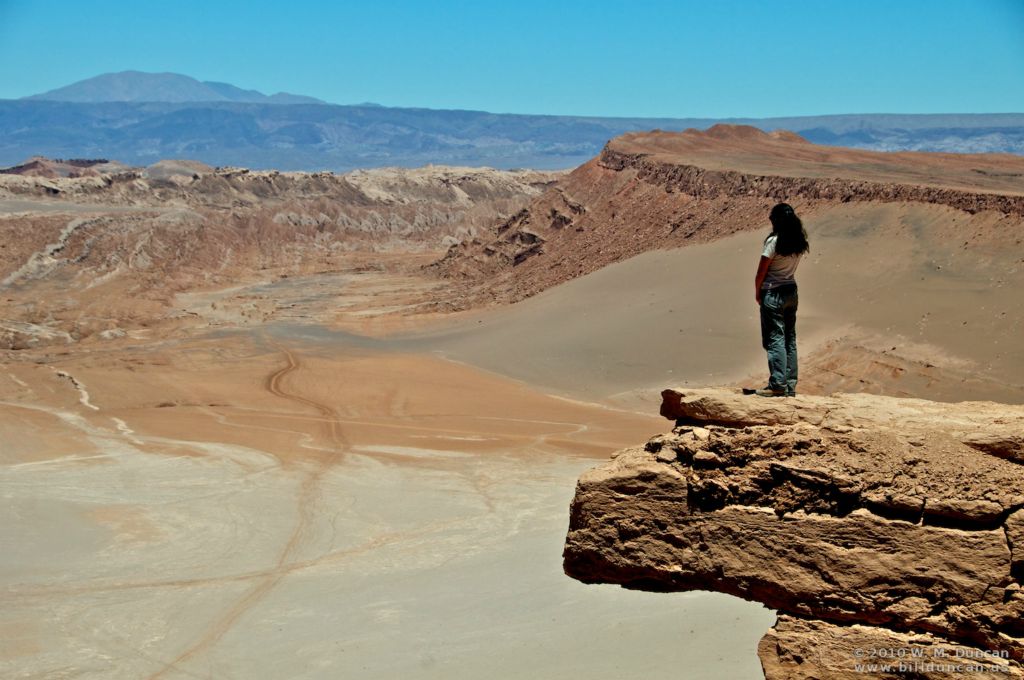
Valley of the Moon
Pamela, a guide native to the area
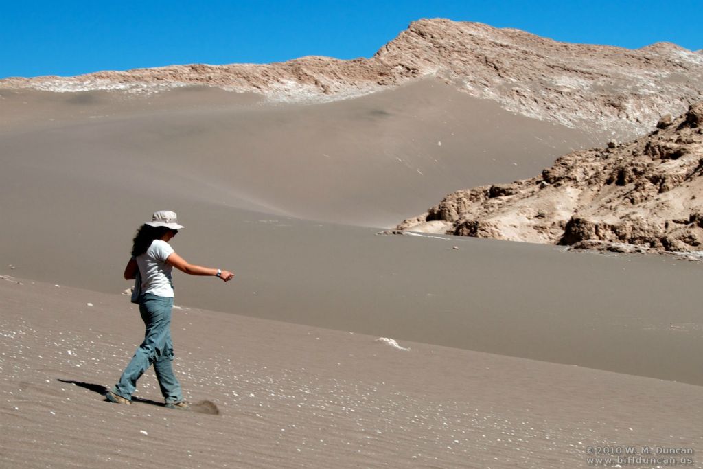
Crosing the dunes in the Valley of the Moon
Dunes
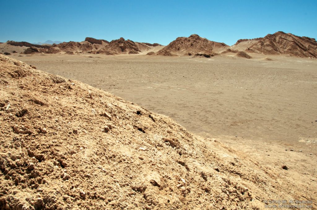
Wind-carved gulch. No rain in centuries.
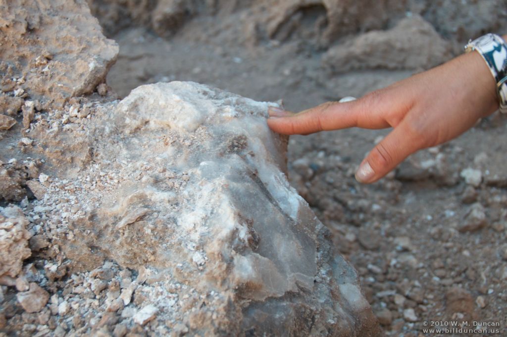
Salt crystals
Plastic-like canyon wall
Under the cliffs
Cool refuge
Lunar landscape?
Martian landscape? NASA tested Mars lander here.
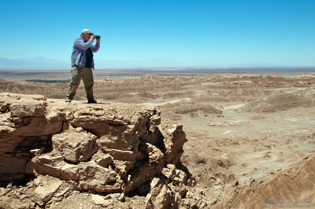
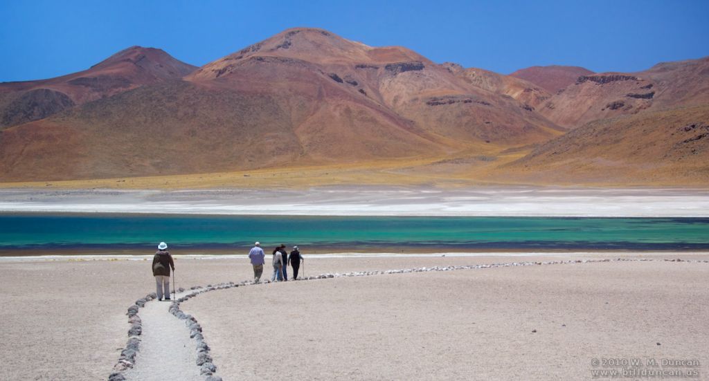
Oasis (San Pablo) lies beyond on the plain.
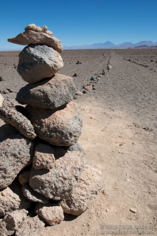
Photographer high up. Salt flats and Andes beyond.
Photographer down low -- in the salt flat.
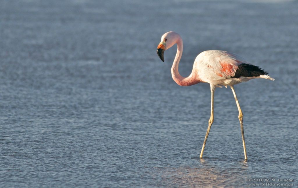
Andean flamingo (black tail) in briny lake of the salt flat.
Chilean flamingo (left - pink/white tail) and Andean flamingo (right.)
Andean flamingo
Andean flamingos
Andean flamingo on wing
Andean flamingos on wing
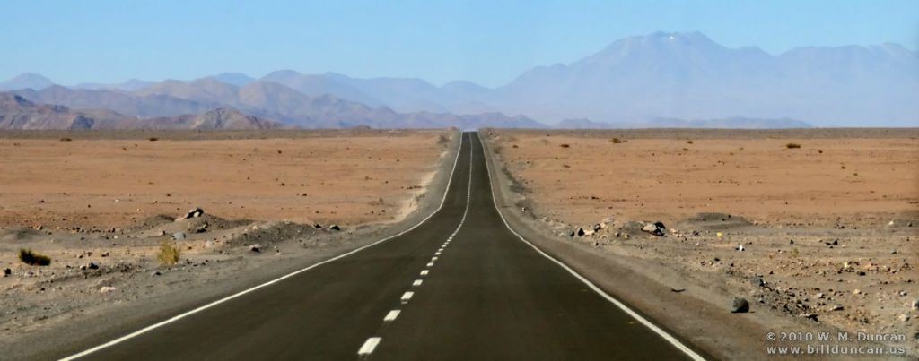
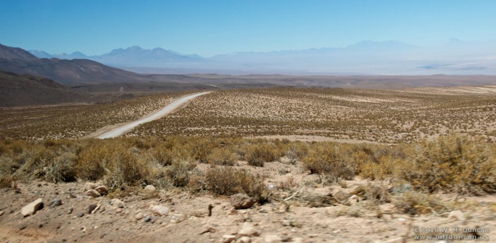
Desert highway south of San Pedro
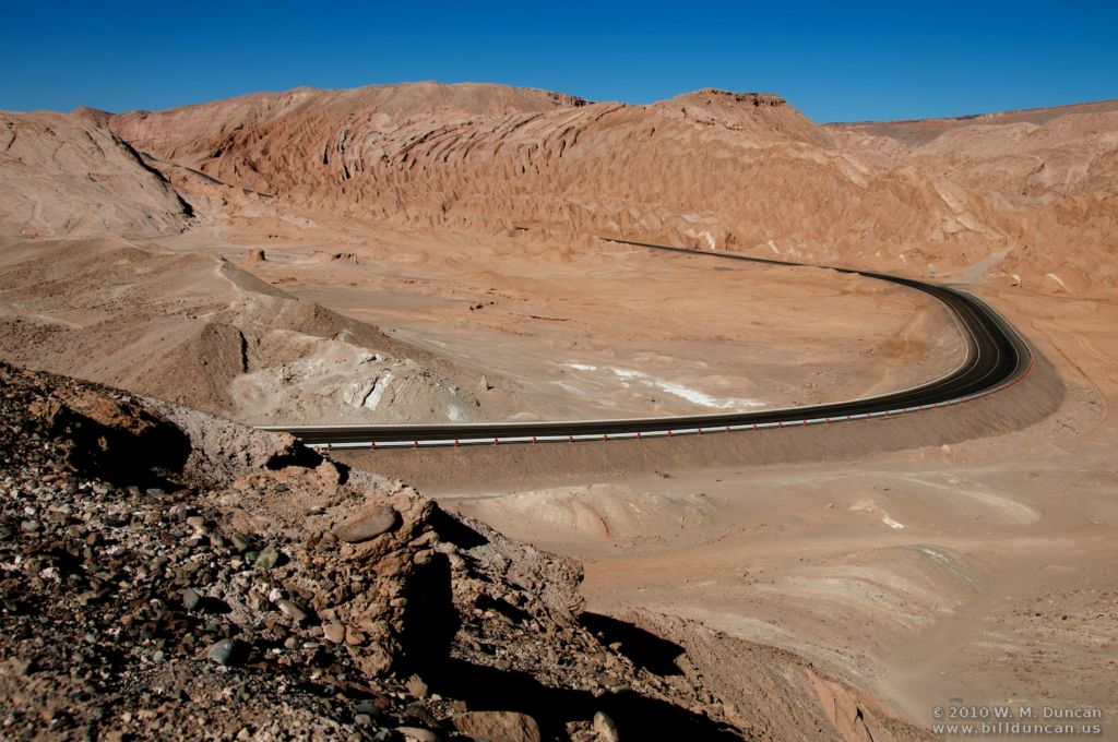
Road to Argentina
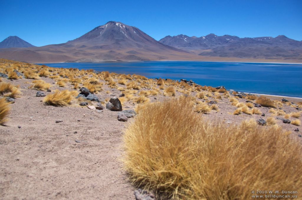
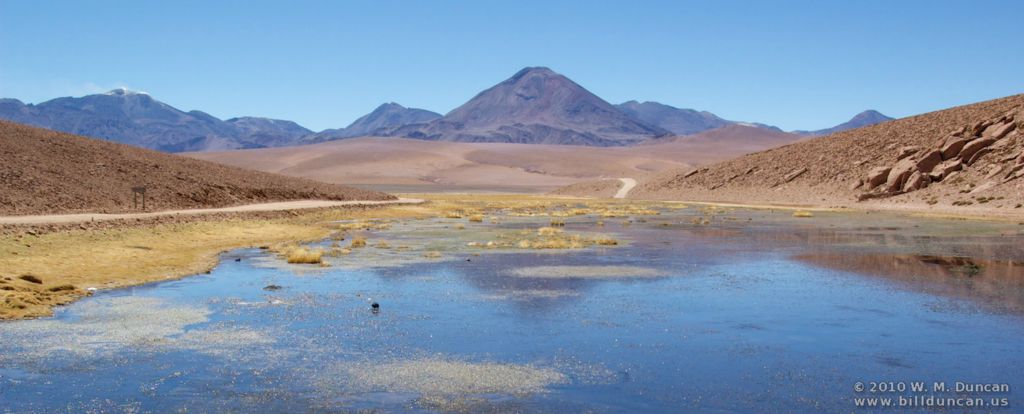
Laguna Miscanti (elev. 13,517 ft.)
Laguna Miscanti
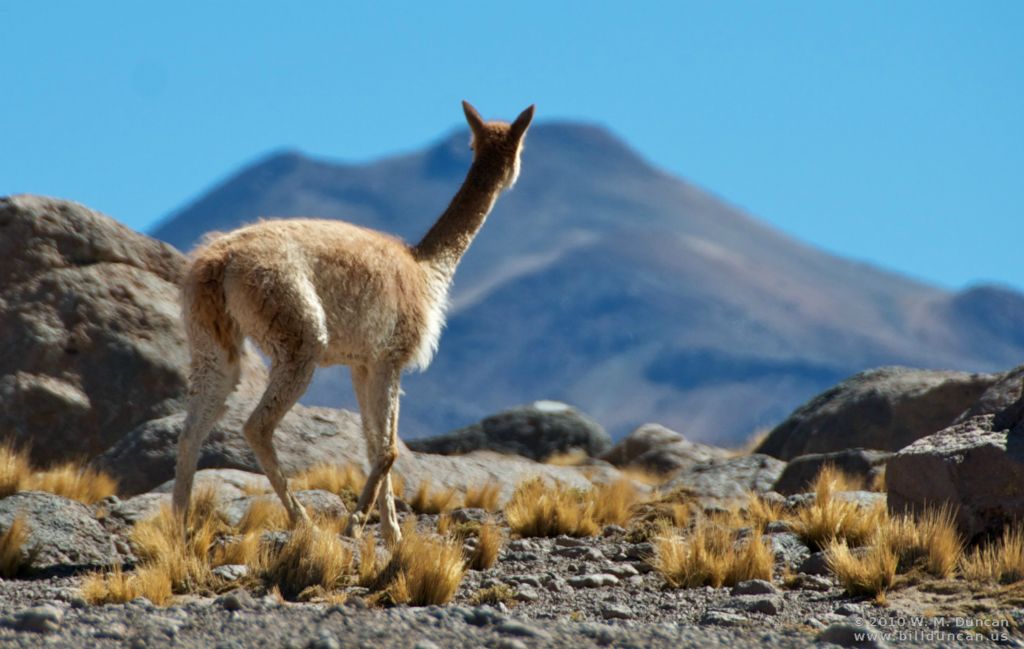
Vicuna
Rhea
Condor
Inca Trail at Tropic of Capricorn
Modernized Inca Trail. Machu Pichu 600 miles straight ahead.
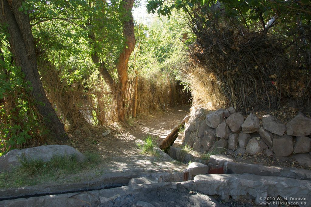
Tree evidences presence of water.
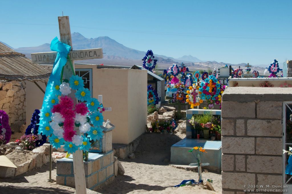
A reservoir in Toconao
Toconao
Village irrigation system
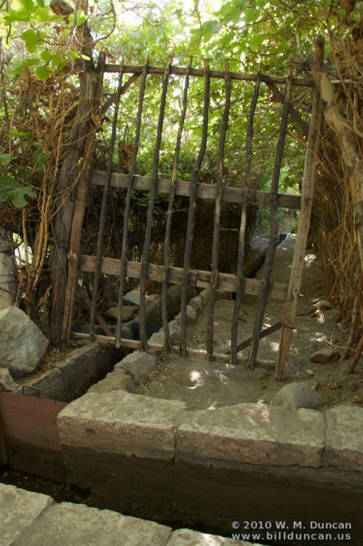
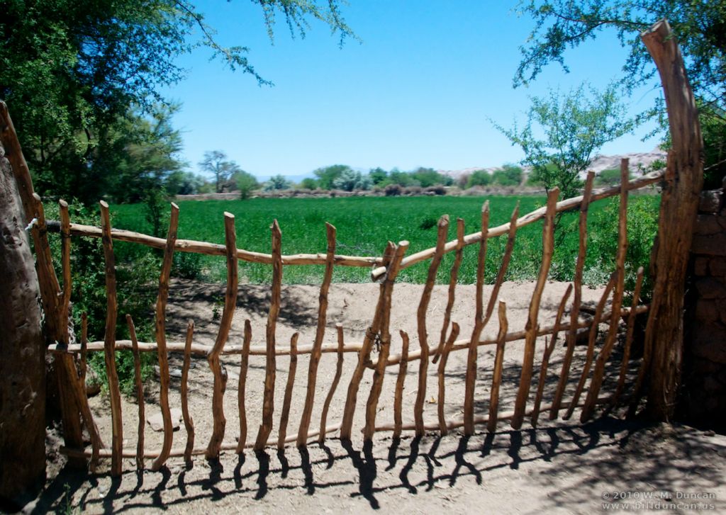
Garden gate
Village street
Llamas loose in the village
Pet bath
Saguaro thriving in town hall planter.
Dead center of town.
Farm gate.
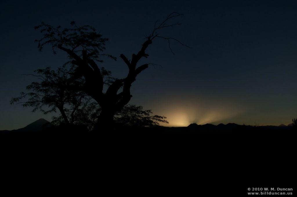
Sunrise in the oasis.
Oasis Grain
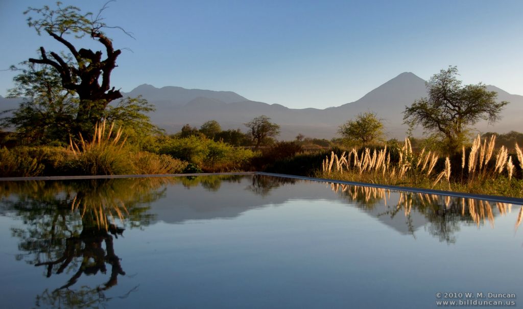
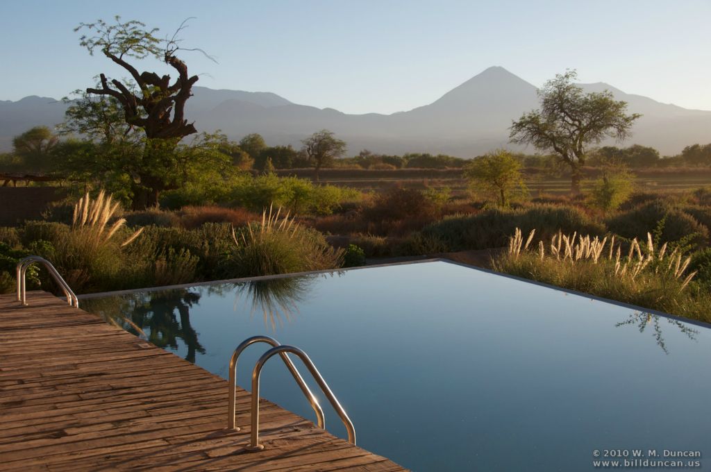
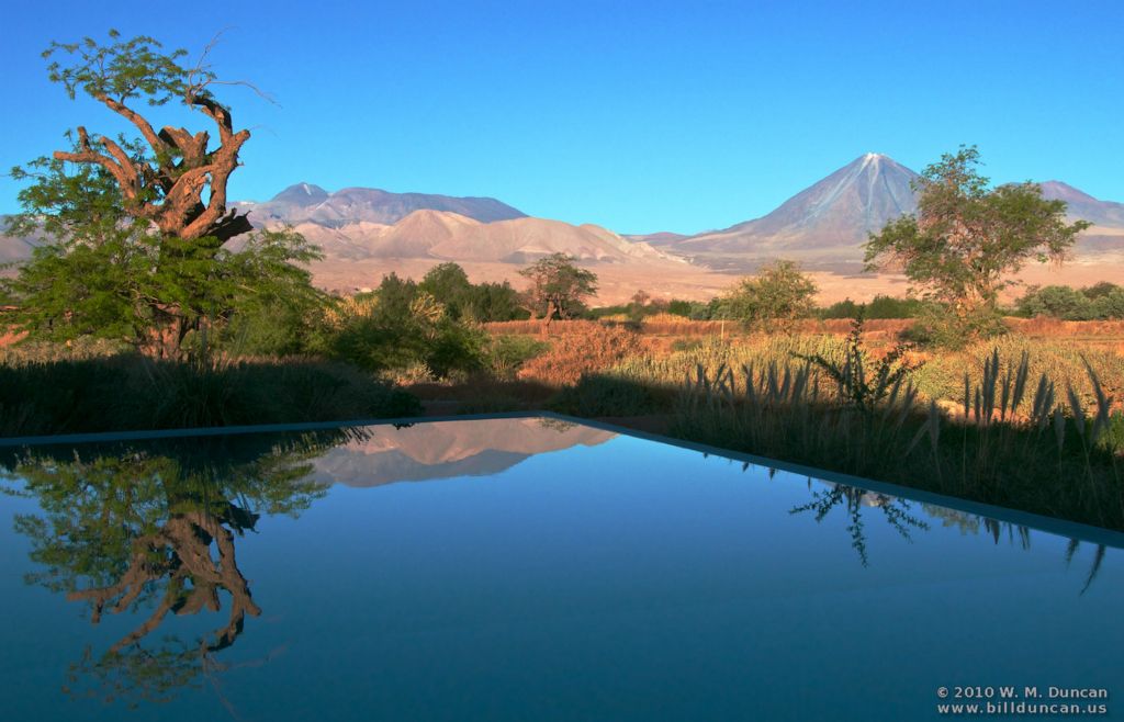
Peculiar water resource ...
... is a resort swimming pool.
The Tierra de Attacama Resort
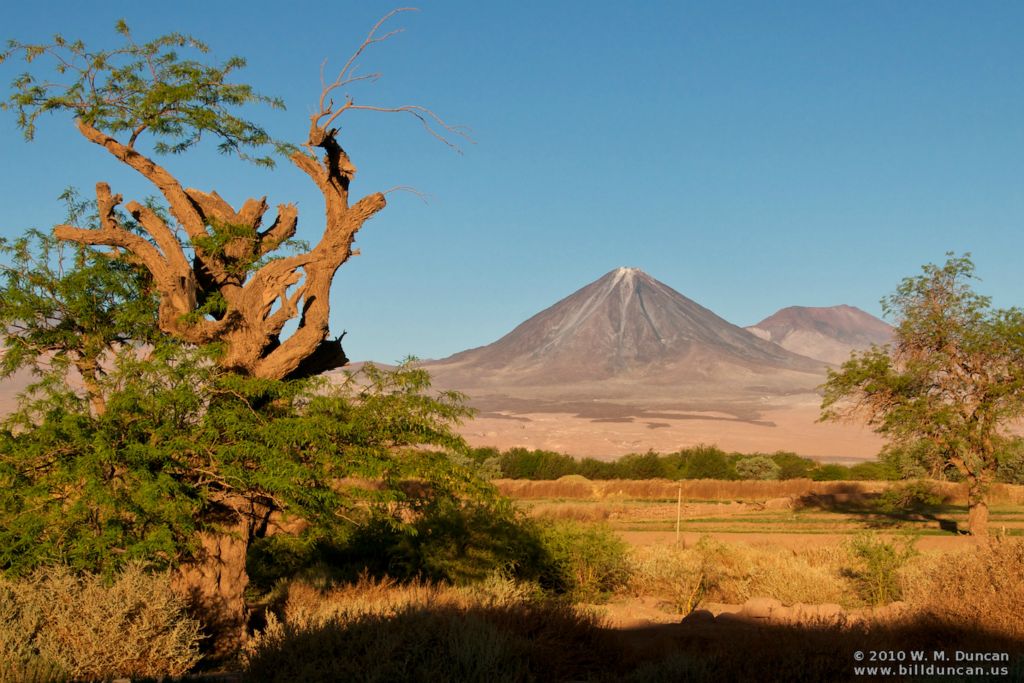
Afternoon cocktail venue with view of Licancabur Volcano
Licancabur Volcano (elev. 19,413 ft.) beyond the oasis (8.000 ft.)
End of a hot day.
But the pool water is still below 70˚ F.
Mineral-rich Andean volcano.
Volcanic structure on the hard pan near salt flats.
Paja brava grass.
El Tatio Geysers
Geysers erupt only soon after dawn.
Vicuna near El Tatio Geysers
Vicuna gazes toward Bolivian border.
Marshy riverhead and bird habitat.
Andean gull
Andean goose
Teals arriving.
Pair of teals.
Teal
Andean coot.
Dusty high plains road.
Frontier church on ancient byway
San Pablo de Attacama
Church interior
A quiet exchange of glances.
The way out of town ...
... to Calama and its airport 60 miles westward.